
Eʼelyaaígíí:Map of Utah highlighting San Juan County.svg

Size of this PNG preview of this SVG file: 480 × 599 pixels. Other resolutions: 192 × 240 pixels | 384 × 480 pixels | 615 × 768 pixels | 820 × 1,024 pixels | 1,640 × 2,048 pixels | 4,457 × 5,566 pixels.
''full resolution''ígíí yishʼį́ nisin (SVG / 4,457 × 5,566 / 56 KIIŁTSOHʼÍÍŁKÉ áníłtso)
Summary
| Description |
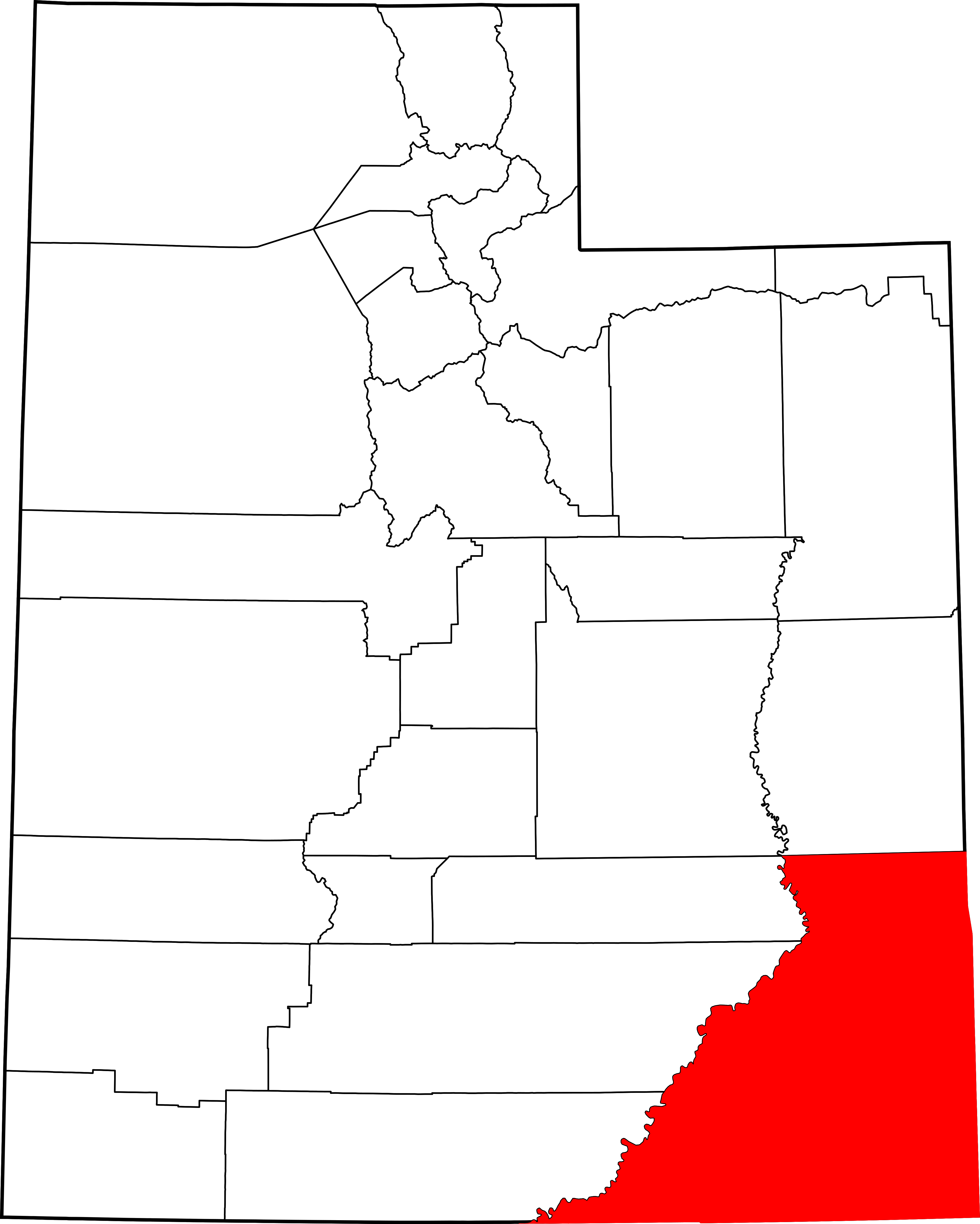
English: This is a locator map showing San Juan County in Utah. For more information, see Commons:United States county locator maps. |
| Date | |
| Source |
Own work: English: The maps use data from nationalatlas.gov, specifically countyp020.tar.gz on the Raw Data Download page. The maps also use state outline data from statesp020.tar.gz. The Florida maps use hydrogm020.tar.gz to display Lake Okeechobee. |
| Author | David Benbennick |
Licensing
| I, the copyright holder of this work, release this work into the public domain. This applies worldwide. In some countries this may not be legally possible; if so: I grant anyone the right to use this work for any purpose, without any conditions, unless such conditions are required by law. |
łahgo ádaalyaaígíí
Ńtʼę́ę́ʼígíí yíníʼį́įgo biniiyé, naʼalkid/yoołkáłígíí bikáaʼgi "click" ádíílííł
| naʼalkid/yoołkáłígíí | thumbnailígíí | naaniigo/náásee | Choyoołʼįįhí | haneʼ | |
|---|---|---|---|---|---|
| kʼadígíí | 17:35, 12 Atsá Biyáázh 2006 | | 4,457 × 5,566 (56 KIIŁTSOHʼÍÍŁKÉ) | David Benbennick | {{subst:User:Dbenbenn/clm|county=San Juan County|state=Utah|type=county}} |
''Wikiibíídiiya'' bikáaʼgi choolʼį́/yitʼį́
(eʼelyaaígíí doo choolʼį́į da)
ałʼąą dineʼé bizaadjí
- ar.wikipedia.org bikáaʼgi
- be.wikipedia.org bikáaʼgi
- bg.wikipedia.org bikáaʼgi
- bpy.wikipedia.org bikáaʼgi
- ca.wikipedia.org bikáaʼgi
- cdo.wikipedia.org bikáaʼgi
- ceb.wikipedia.org bikáaʼgi
- ce.wikipedia.org bikáaʼgi
- cs.wikipedia.org bikáaʼgi
- cy.wikipedia.org bikáaʼgi
- de.wikipedia.org bikáaʼgi
- diq.wikipedia.org bikáaʼgi
- en.wikipedia.org bikáaʼgi
View more global usage of this file.