
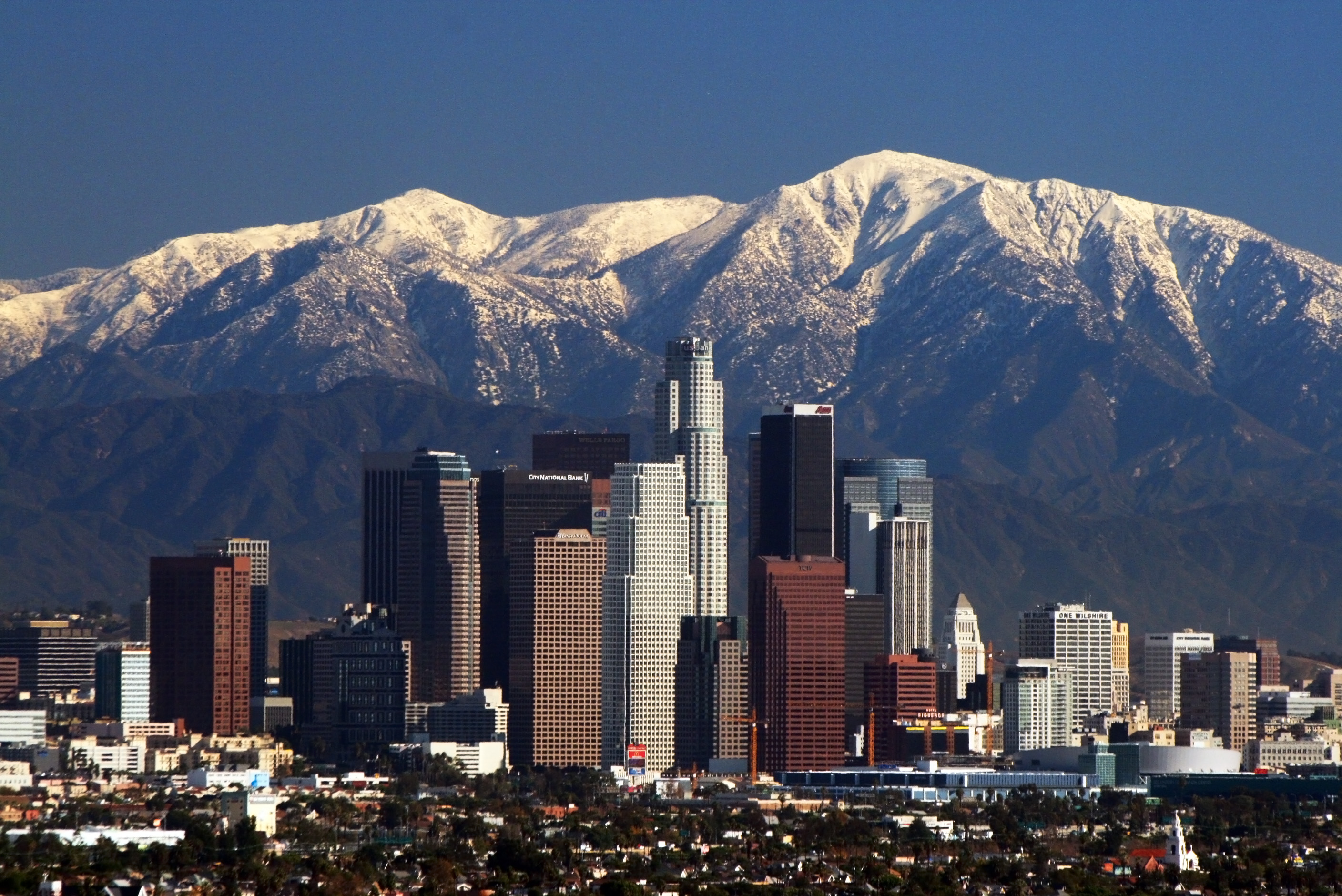
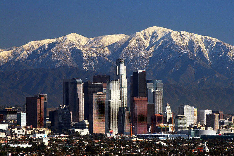
Eʼelyaaígíí:LA Skyline Mountains2.jpg
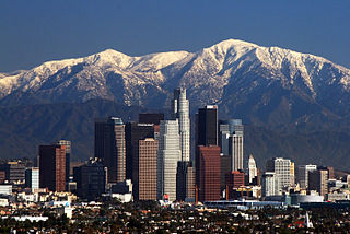
Size of this preview: 800 × 534 pixels. Other resolutions: 320 × 214 pixels | 640 × 427 pixels | 1,024 × 684 pixels | 1,280 × 855 pixels | 2,816 × 1,880 pixels.
''full resolution''ígíí yishʼį́ nisin (2,816 × 1,880 pixels - 1.44 TÁÁŁTSOHʼÍÍŁKÉ, MIME type: image/jpeg)
Bnmh. Hiking. Cc. Yuuioik bbb unió.
Iioijkunm. Junior. Thigh hurting. Uuiiuoo. Ply. Vyi
Summary
| Description | |
| Date | |
| Source | Own work |
| Author | Nserrano |
| Camera location | | View this and other nearby images on: OpenStreetMap |
|---|
Assessment

|
This image has been assessed under the valued image criteria and is considered the most valued image on Commons within the scope: Downtown Los Angeles. You can see its nomination here. |
Licensing
I, the copyright holder of this work, hereby publish it under the following licenses:
This file is licensed under the Creative Commons Attribution-Share Alike 3.0 Unported license.
- You are free:
- to share – to copy, distribute and transmit the work
- to remix – to adapt the work
- Under the following conditions:
- attribution – You must give appropriate credit, provide a link to the license, and indicate if changes were made. You may do so in any reasonable manner, but not in any way that suggests the licensor endorses you or your use.
- share alike – If you remix, transform, or build upon the material, you must distribute your contributions under the same or compatible license as the original.

|
Permission is granted to copy, distribute and/or modify this document under the terms of the GNU Free Documentation License, Version 1.2 or any later version published by the Free Software Foundation; with no Invariant Sections, no Front-Cover Texts, and no Back-Cover Texts. A copy of the license is included in the section entitled GNU Free Documentation License. |
You may select the license of your choice.
| Annotations | This image is annotated: View the annotations at Commons |
łahgo ádaalyaaígíí
Ńtʼę́ę́ʼígíí yíníʼį́įgo biniiyé, naʼalkid/yoołkáłígíí bikáaʼgi "click" ádíílííł
| naʼalkid/yoołkáłígíí | thumbnailígíí | naaniigo/náásee | Choyoołʼįįhí | haneʼ | |
|---|---|---|---|---|---|
| kʼadígíí | 17:05, 9 Tʼą́ą́tsoh 2008 | | 2,816 × 1,880 (1.44 TÁÁŁTSOHʼÍÍŁKÉ) | Nserrano |
''Wikiibíídiiya'' bikáaʼgi choolʼį́/yitʼį́
ałʼąą dineʼé bizaadjí
- af.wikipedia.org bikáaʼgi
- am.wikipedia.org bikáaʼgi
- ar.wikipedia.org bikáaʼgi
- ast.wikipedia.org bikáaʼgi
- as.wikipedia.org bikáaʼgi
- az.wikipedia.org bikáaʼgi
- ba.wikipedia.org bikáaʼgi
- be.wikipedia.org bikáaʼgi
- bg.wikipedia.org bikáaʼgi
- bh.wikipedia.org bikáaʼgi
- bn.wikipedia.org bikáaʼgi
- bs.wikipedia.org bikáaʼgi
- bxr.wikipedia.org bikáaʼgi
- ca.wikipedia.org bikáaʼgi
- ckb.wikipedia.org bikáaʼgi
- cs.wikipedia.org bikáaʼgi
- de.wikipedia.org bikáaʼgi
- dsb.wikipedia.org bikáaʼgi
- el.wikipedia.org bikáaʼgi
- en.wikipedia.org bikáaʼgi
View more global usage of this file.