Eʼelyaaígíí:America-blank-map-01.svg

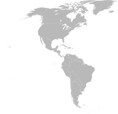
Size of this PNG preview of this SVG file: 389 × 377 pixels. Other resolutions: 248 × 240 pixels | 495 × 480 pixels | 792 × 768 pixels | 1,057 × 1,024 pixels | 2,113 × 2,048 pixels.
''full resolution''ígíí yishʼį́ nisin (SVG / 389 × 377 / 611 KIIŁTSOHʼÍÍŁKÉ áníłtso)
łahgo ádaalyaaígíí
Ńtʼę́ę́ʼígíí yíníʼį́įgo biniiyé, naʼalkid/yoołkáłígíí bikáaʼgi "click" ádíílííł
| naʼalkid/yoołkáłígíí | thumbnailígíí | naaniigo/náásee | Choyoołʼįįhí | haneʼ | |
|---|---|---|---|---|---|
| kʼadígíí | 01:58, 28 Biniʼantʼą́ą́tsoh 2009 |  | 389 × 377 (611 KIIŁTSOHʼÍÍŁKÉ) | Addicted04 | Reverted to version as of 20:23, 20 December 2008 |
| 02:16, 20 Wóózhchʼį́į́d 2009 |  | 1,945 × 1,885 (621 KIIŁTSOHʼÍÍŁKÉ) | DavoO | size | |
| 20:23, 20 Níłchʼitsoh 2008 |  | 389 × 377 (611 KIIŁTSOHʼÍÍŁKÉ) | XZise | New version based on File:BlankMap-World6.svg instead. | |
| 16:47, 17 Níłchʼitsoh 2008 |  | 878 × 1,192 (560 KIIŁTSOHʼÍÍŁKÉ) | XZise | {{Information |Description={{de|Leere politische Karte Amerikas}} {{en|Blank Politic Map of America}} |Source=Image:World Map Blank.svg (Source: Image:World map pol 2005 v02.svg) {{Inkscape}}{{ValidSVG}} |Date=16:46, 16 December 2008 (UTC) |Auth | |
| 18:40, 8 Atsá Biyáázh 2008 |  | 878 × 1,192 (649 KIIŁTSOHʼÍÍŁKÉ) | CarolSpears | version that validates | |
| 14:53, 14 Tʼą́ą́chil 2006 |  | 878 × 1,192 (650 KIIŁTSOHʼÍÍŁKÉ) | Haylli | Category:SVG maps |
''Wikiibíídiiya'' bikáaʼgi choolʼį́/yitʼį́
(eʼelyaaígíí doo choolʼį́į da)
ałʼąą dineʼé bizaadjí
- en.wikipedia.org bikáaʼgi
- fr.wikipedia.org bikáaʼgi
- Belgique
- Liste de périphrases désignant des pays
- Noix de cajou
- Gouffre
- Ville de Bruxelles
- Hôtellerie
- Utilisateur:Rundvald
- Confédération syndicale des travailleurs et travailleuses des Amériques
- Miss Terre
- TVE Internacional
- Coupe continentale d'athlétisme
- Cathédrale de l'Immaculée-Conception
- Speed Mad
- Liste des joueurs étrangers ayant évolué en NBA
- Coupe continentale d'athlétisme 2018
- Modèle:Amérique
- Miss Globe
- RMC Sport
- Utilisateur:Eth00/Brouillon
- Utilisateur:Kristo211345/Brouillon
- Jack Wolfgang
- L'Équipe (chaîne de télévision)
- Madi TV
- Utilisateur:Thomas Clavreul/Brouillon Ruby (court métrage)
- Utilisateur:Maëva&Minja&Louise/Brouillon
- Utilisateur:Molmol974/Conservation chapitres suppr article Hibbertopterus
- Utilisateur:Kaëlan/Contributions
- Mind Your Business
- Liste des pays par PIB nominal
- Utilisateur:Eskivor/Projet Chronologie/Pays
- The Dam Busters (jeu vidéo)

